Kinder Morgan’s Disappointing Answers
This post is part of an ongoing series in which MLA Andrew Weaver will be sharing key information from inside the National Energy Board hearings on Kinder Morgan’s Trans Mountain pipeline proposal.
In recent weeks there has been widespread news coverage concerning the disappointing and incomplete answers Trans Mountain provided many intervenors when asked about their pipeline proposal.
Back in May, my team and I spent countless hours poring over the 15,000 page application, dissecting Kinder Morgan’s claims and evaluating their evidence. For a small office like mine, that is a big commitment. Yet we gave it the due diligence it deserved because my constituents, and British Columbians across the province, have been clear: They are concerned about the prospect of substantially increasing heavy oil tanker traffic on our coast and they expect their MLAs to do something about it.
Collectively, intervenors submitted more than 10,000 questions to Trans Mountain. Of these, I submitted nearly 500. Unfortunately, the answers we received failed to address many of the questions I, and other intervenors, asked.
To give you a sense of what I mean, let me offer an example.
Geological and Geographic Factors
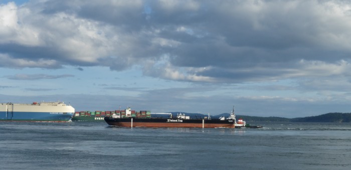
One of the biggest concerns for south island residents is the risk of an oil spill. In reviewing the oil tanker route analysis, I found that, surprisingly, the section on “Geographic and Geological Factors” along the route was only three sentences long. This was surprising because geographic and geological factors—such as islands and rocky shorelines—often play a role in incidents that lead to oil spills. Not only that, but according to the Federal Tanker Safety Expert Panel the route these tankers would take is a “very high risk” area.
Here’s that entire section on “Geographic and Geological Factors”:
“The Southern coast of British Columbia has a wide range of geographic and geological formations. The proposed waterways have a variety of Sandy to rocky shore lines and scattered with islands, coves, and inlets. The proposed route is deep and wide enough and currently providing safe transit for vessels similar to the project vessels to and from Vancouver harbour.”
While I appreciate that ships already transit the area, this fact, on its own, does not provide an adequate assessment of risk along the route. I therefore asked Kinder Morgan to elaborate on this section and to provide a more complete assessment of geographic and geological factors that could contribute to an oil spill.
Unfortunately, Kinder Morgan’s response was to simply refer to me the very section I asked them to elaborate on. If I still wanted more information, they then suggested I “refer to the appropriate navigation chart”.
Challenging these Answers
I find this answer highly disappointing. Unfortunately, it is also typical of many of the answers we received.
If Kinder Morgan is truly trying to earn the social license to build this project and ship additional oil through our coastal waters, I think it is fair to require them to have a more detailed assessment of the islands and geological formations that make up the route they will use.
Let me be clear: My concern, at this stage, is not about receiving answers that I disagree with. We received many answers that I believe British Columbians will be concerned about—but at least in those cases we received answers.
My concern here is that Kinder Morgan is refusing to provide actual answers to important questions.
The Province of British Columbia, the City of Burnaby, the City of Vancouver and many other intervenors have all voiced this same concern.
These questions form the basis of the entire hearing process. This is where we get to test the validity of Trans Mountain’s evidence so that in the end the National Energy Board can make a fully informed decision about whether the pipeline should be approved or not.
The fact is that given the massive outpouring of opposition to the Northern Gateway pipeline and the serious concerns that have been raised about heavy oil spills, it is hard to believe that Kinder Morgan would not be doing everything possible to address the concerns of intervenors and of all British Columbians.


2 Comments
The carbon inherent in the proven reserves will cause more than a 2 degree rise in world temperatures, which may well be the tipping point beyond which we will see runaway devastating climate change which will wipe out humanity on earth.
Increasing delivery of tarsands to our coast is a race to the bottom. The earth cannot afford to burn up the coal, oil, and gas that is already in the system, yet we see companies racing to double delivery of these poisons to China and the world.
Stop the insanity. Switch to renewables and Thorium energy now, before it is too late.
It appears that the oil terminal to be used will be the Westridge Marine Terminal, which is inside of the Second Narrows. If my information is correct, the bottom clearance through the Second Narrows is not particularly generous; this creates a risk for groundings and related problems. Wouldn’t it make more sense to locate the oil terminal at or near, say, the coal terminal which already exists near the Tsawwassen Ferry Terminal? This would eliminate many obstacles along the route and thus reduce the risk of a marine accident involving an oil tanker…